Inwood Hill Park - Manhattan
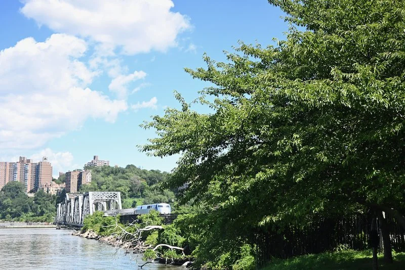
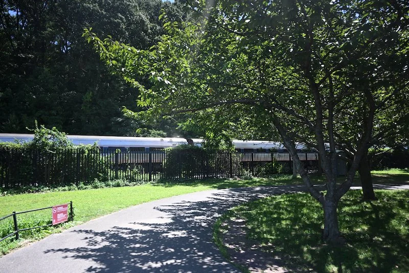
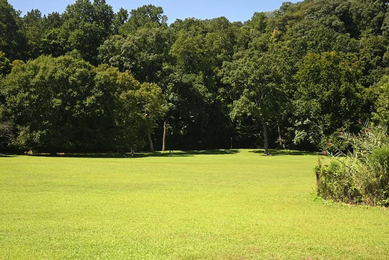
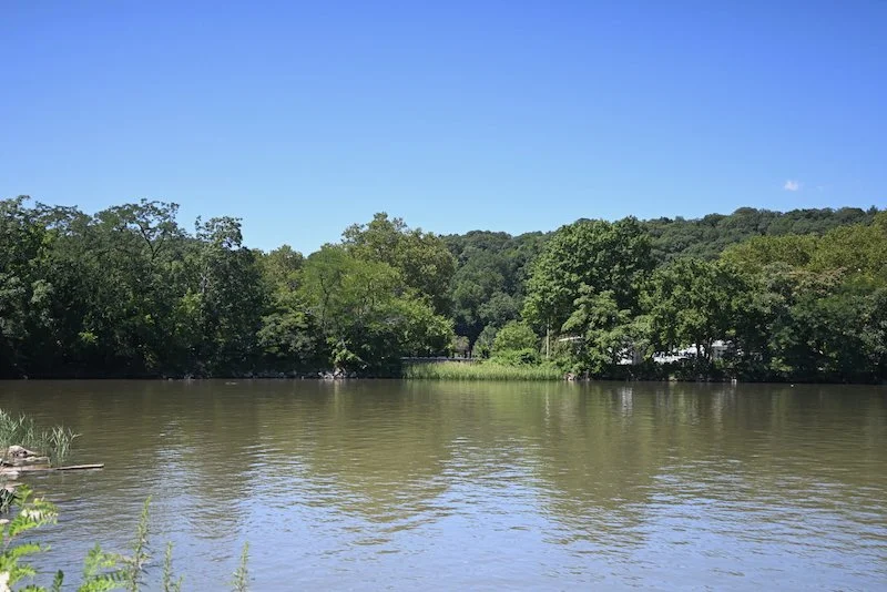
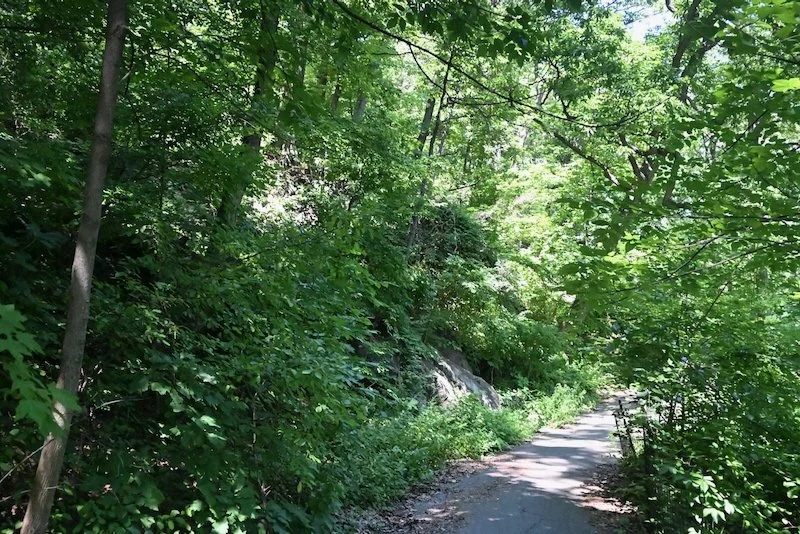
Inwood Hill Park is at the northwestern tip of Manhattan. It contains the last natural forest and salt marsh in Manhattan. A walking path runs along one side of the forest with the Harlem and Hudson Rivers bordering the other side, crossing under the Henry Hudson Bridge. Large expansive lawns border the forest on the eastern side of the park. A couple of paths lead down to the salt marsh offering views of the Harlem River, the Henry Hudson bridge and the cliffs of Sputyen Duyvil on the other opposite side of the river. Since the park is located in a fairly remote part of the city without high rise apartment buildings and office buildings, it is, for the most part, a quiet space.
Before the city bought the land that is now Inwood Hill Park in 1916, large country homes dotted the landscape throughout the 1800s. The area of Inwood was extremely rural until 1906 when the IRT’s Broadway-Seventh Avenue subway line, now the 1 line, reached the neighborhood. With the coming of the subway, came new apartment buildings replacing farms and transforming the neighborhood into a working and middle class neighborhood by the 1930. Inwood Hill Park was officially opened in May, 1926.
The Henry Hudson Bridge opened on December 12, 1936 and with the completion of the highway connecting to the bridge in 1938, the landscape of Inwood Hill Park was forever changed. Robert Caro writes in The Power Broker that urban planners had proposed that Moses build the highway along the eastern edge of the park rather than along the top of the cliffs that line the Hudson River. Moving the highway would have had less of an impact on the forest, they said, and would have meant that the solitude of the forest would not be interrupted by the sound of cars.
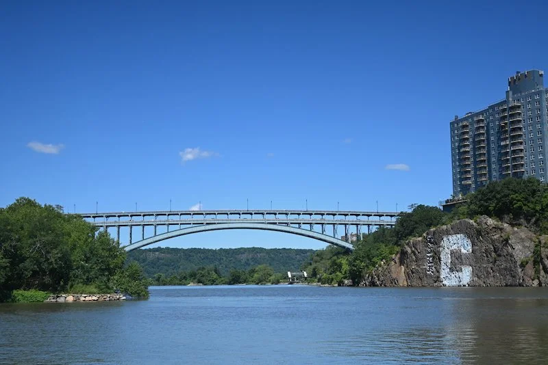
Moving the highway further inland toward the east would also have meant the bridge crossing the Harlem River could be a low bridge because it would have connected to the area of Marble Hill, which then was just a series of shanty towns. Moses, however, could not be swayed. He wanted to build a high arch steel truss bridge on the bluffs of Inwood and Spuyten Duyvil that ships could easily pass under. This meant cutting through the forest of Inwood Hill Park.
As a result of the parkway being built along the western edge the park through the forest, he destroyed a 160 year old tulip tree along with numerous other trees. Caro writes that Bill Exton, one of the urban planners who had tried to convince Moses to build the parkway further east, visited Inwood Hill Park after the highway connection to the bridge was completed and was appalled by what he saw. He saw the concrete steps that had been built as part of new paths, replacing the old dirt paths. He saw the whole new drainage system that needed to be built as a result of the trees that had been cut down, which provided natural drainage. In his opinion, it wasn’t Inwood Hill anymore.
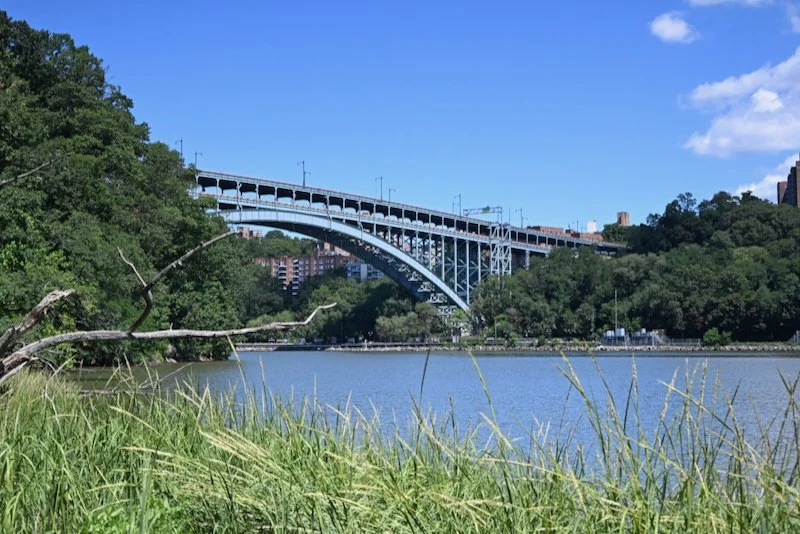
When the bridge and the parkway were built, Moses filled in some of the existing marshland to connect it to Inwood Hill Park in order to straighten the Harlem River. He evicted squatters from the buildings that dotted the hill and demolished them. He built the Dyckman athletic fields, north of Dyckman Street, in an area that had previously been used partly as a dump and he built athletic fields along Seaman Avenue at the northwest corner. Because Moses refused to move the highway and the bridge, they are an integral part of the park at the western side. The bridge is often in view and the sounds of cars can certainly be heard when walking some of the paths, particularly on the lower portion of the park along the Hudson River where the highway is clearly visible.
Inwood Hill Park is at the northwestern tip of Manhattan. It contains the last natural forest and salt marsh in Manhattan. A walking path runs along one side of the forest with the Harlem and Hudson Rivers bordering the other side, crossing under the Henry Hudson Bridge. Large expansive lawns border the forest on the eastern side of the park. A couple of paths lead down to the salt marsh offering views of the Harlem River, the Henry Hudson bridge and the cliffs of Sputyen Duyvil on the other opposite side of the river. Since the park is located in a fairly remote part of the city without high rise apartment buildings and office buildings, it is, for the most part, a quiet space.
Before the city bought the land that is now Inwood Hill Park in 1916, large country homes dotted the landscape throughout the 1800s. The area of Inwood was extremely rural until 1906 when the IRT’s Broadway-Seventh Avenue subway line, now the 1 line, reached the neighborhood. With the coming of the subway, came new apartment buildings replacing farms and transforming the neighborhood into a working and middle class neighborhood by the 1930. Inwood Hill Park was officially opened in May, 1926.
The lower part of the park bordering the Hudson Rover offers magnificent views of the river heading north and the Palisades Cliffs on the the New Jersey side. The park here is also intersected by the railroad tracks of Amtrak’s Empire Corridor Line that crosses the Spuyten Duyvil swing bridge at the northern end. The railroad tracks were formerly New York Central freight tracks leading down to the warehouses and factories along the Hudson River. The Metro North railroad tracks, formerly the tracks of the New Central Main Line, run along the opposite side of the Harlem River. The Amtrak line connects with the Metro North tracks on the other side of the bridge.